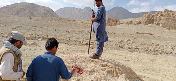
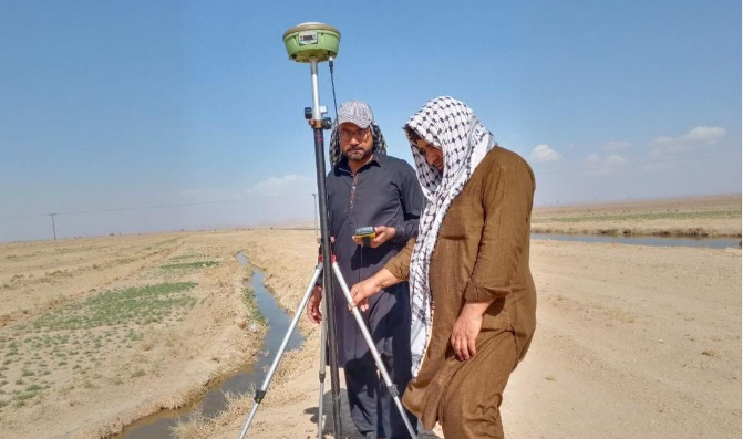
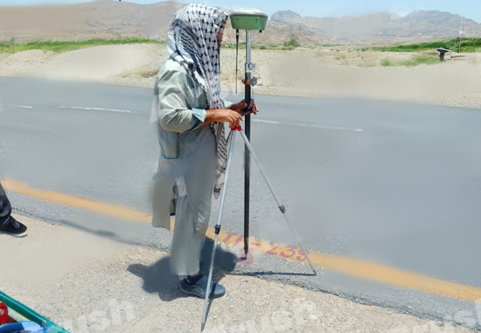
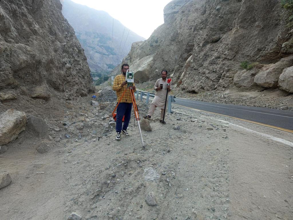
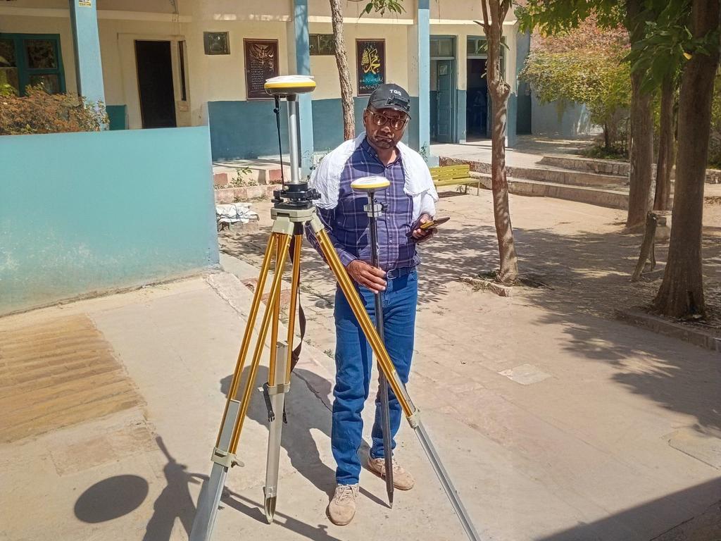
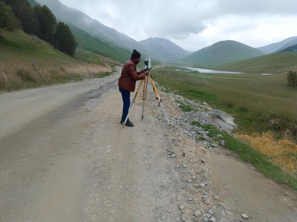
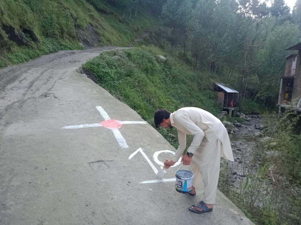
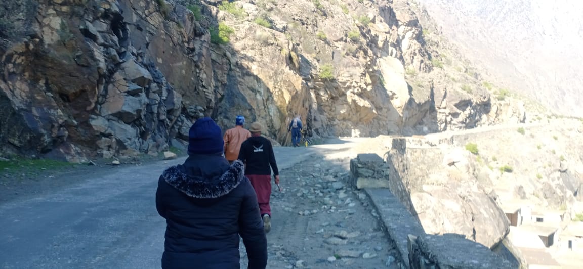
Our Projects
Explore our diverse portfolio of surveying projects across Pakistan. We've successfully completed projects for residential, commercial, infrastructure, and industrial clients.
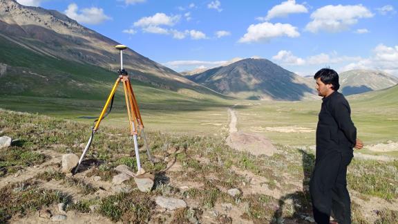
Murgha Faqirzai O Bunni Road
Queta, Balochistan
Project Description
Comprehensive survey for the 76 km Murgha Faqirzai O Bunni Road in Queta, Balochistan. Our team provided detailed topographic surveys and alignment planning to support road development in challenging terrain.
Location Details
Located in the rugged terrain of Balochistan province, this 76 km road project required precise elevation measurements and careful planning to accommodate the natural landscape while ensuring optimal road design.
Project Team
Timeline
Start Date
February 2020
Duration
5 weeks
Completion
March 6, 2020
Project Dimensions
The road survey covered a distance of 76 kilometers with varying terrain conditions requiring detailed elevation profiles and cross-sections at regular intervals.
Client
RCEL+FINITE
Joint venture for infrastructure development projects across Pakistan.
Services Provided
Topographic survey, road alignment planning, cross-sectional analysis, and detailed elevation profiling to support the road construction project.
Challenges & Solutions
The project faced challenges due to the remote location and difficult terrain in Balochistan. Our team employed advanced GPS technology and established a network of control points to ensure accuracy across the extensive survey area. We utilized off-road vehicles and portable equipment to access remote sections of the proposed alignment.
Dhringer to Noski Highway
Balochistan
Project Description
Comprehensive survey for a 100 km road project from Dhringer to Noski for CNW in Balochistan. Our team conducted detailed topographic surveys to support the planning and design of this major highway infrastructure project.
Location Details
Traversing through diverse terrain in Balochistan province, this 100 km highway required precise elevation measurements and careful alignment planning to optimize construction costs while ensuring road safety and durability.
Project Team
Timeline
Start Date
April 21, 2021
Duration
11 weeks
Completion
July 10, 2021
Project Dimensions
The highway survey covered a distance of 100 kilometers with various geological features and multiple water crossings that required detailed documentation for engineering design.
Client
RCEL+FINITE
Joint venture specializing in infrastructure project planning and execution.
Services Provided
Comprehensive topographic survey, alignment planning, cross-sectional analysis, drainage assessment, and geospatial data preparation for engineering design.
Challenges & Solutions
The project required surveying across varied terrain with limited access points. Our team utilized advanced GPS technology combined with drone photogrammetry to efficiently map inaccessible areas. We established a comprehensive control network that enabled accurate data collection across the entire alignment while minimizing field time in challenging conditions.
Lasbella to Hub Topographic Survey
Balochistan
Project Description
Extensive topographic survey for the 110 km corridor connecting Lasbella to Hub in Balochistan. This project provided essential terrain data for infrastructure planning and development along this strategic route.
Location Details
The survey corridor spans from Lasbella to Hub in Balochistan province, covering diverse terrain including coastal plains, rocky outcrops, and settlements. This strategic route connects interior Balochistan with coastal areas.
Project Team
Timeline
Start Date
July 8, 2021
Duration
2 days
Completion
July 10, 2021
Project Dimensions
The topographic survey covered a corridor of 110 kilometers with varying width requirements based on the terrain and development needs. The survey captured elevation data with high precision to support infrastructure planning.
Client
National Highway Authority
Pakistan's federal agency responsible for building and maintaining national highways and motorways.
Services Provided
Comprehensive topographic survey, aerial mapping using drone technology, ground control point establishment, and preparation of detailed contour maps and digital terrain models.
Challenges & Solutions
The project had an extremely tight timeline requiring rapid deployment and data collection. Our team utilized both traditional survey methods and drone photogrammetry working in parallel to complete the survey efficiently. We implemented a streamlined workflow with field processing capabilities to verify data quality in real-time and ensure completion within the required timeframe.
Karakoram Highway Survey
Near Diamer Bhasha Dam, Gilgit-Baltistan
Project Description
Comprehensive topographic survey for the 11 km Karam Highway near Diamer Bhasha Dam in Gilgit-Baltistan. This critical infrastructure project required precise elevation data to support highway design in challenging mountainous terrain.
Location Details
Located in the high-altitude region of Gilgit-Baltistan near the Diamer Bhasha Dam site, this project involved complex terrain with significant elevation changes. The survey area included steep mountain slopes, water crossings, and geologically sensitive zones.
Project Team
Timeline
Start Date
October 25, 2021
Duration
2 months
Completion
December 25, 2021
Project Dimensions
The 11 km highway survey required detailed cross-sections at 25-meter intervals with additional sections at critical features. The survey captured elevation data with high precision to support infrastructure planning in this geologically sensitive area.
Client
WAPDA
Pakistan Water and Power Development Authority, responsible for water and power development projects.
Services Provided
Topographic survey, cross-sectional analysis, alignment planning, geospatial data collection, and preparation of detailed terrain models to support highway design and construction planning.
Challenges & Solutions
The project presented challenges due to harsh weather conditions, high altitude, and difficult terrain. Our team implemented a phased approach with careful planning to mitigate the impact of weather conditions. We utilized specialized equipment designed for high-altitude operation and established a dense control network to maintain accuracy across steep slopes and challenging terrain.
Educational Facilities Topographic Survey
Punjab
Project Description
Comprehensive topographic survey for 119 schools across urban and rural areas in Punjab. This project provided essential site data for educational facility planning, renovation, and new construction projects.
Location Details
The project covered diverse locations across Punjab province, including densely populated urban areas and remote rural communities. Each school site presented unique topographic and access challenges requiring tailored survey approaches.
Project Team
Timeline
Start Date
April 2022
Duration
7 weeks
Completion
May 22, 2022
Project Dimensions
The project encompassed 119 school sites varying in size from 1 to 10 acres. Each site required detailed topographic mapping, boundary verification, and documentation of existing structures and utilities.
Client
ICTA + TMA + KPK
Consortium of government agencies responsible for educational infrastructure development.
Services Provided
Topographic surveys, boundary verification, as-built documentation of existing structures, utility mapping, and preparation of CAD drawings and digital terrain models for each school site.
Challenges & Solutions
The project required coordinating survey work across numerous sites while maintaining consistent quality and standards. We implemented a standardized survey protocol and deployed multiple teams working in parallel to efficiently complete all sites within the required timeframe. For urban sites with limited access, we utilized compact equipment and scheduled surveys during off-hours to minimize disruption to school activities.
Burzil Top to Shkma Survey
Gilgit-Baltistan
Project Description
Comprehensive topographic survey for the 112 km route from Burzil Top to Shkma in Gilgit-Baltistan. This high-altitude project provided essential terrain data for infrastructure planning in one of Pakistan's most challenging mountain regions.
Location Details
Located in the northern mountainous region of Gilgit-Baltistan, this project traversed extreme alpine terrain with elevations exceeding 4,000 meters. The survey area included glacial zones, steep mountain passes, and areas with limited accessibility.
Project Team
Timeline
Start Date
June 26, 2022
Duration
5 weeks
Completion
July 30, 2022
Project Dimensions
The survey covered a 112 km mountain route with extreme elevation changes. The project required detailed cross-sectional data and accurate terrain modeling to support infrastructure planning in this challenging environment.
Client
PHED
Public Health Engineering Department, responsible for infrastructure development in remote regions.
Services Provided
Comprehensive topographic survey, route alignment studies, cross-sectional analysis, geospatial data collection, and preparation of detailed digital terrain models for infrastructure planning.
Challenges & Solutions
The project faced extreme challenges due to high altitude, harsh weather conditions, and limited access routes. Our team implemented a specialized high-altitude survey strategy with extended acclimatization periods and weather contingency planning. We utilized advanced GPS equipment capable of operating in challenging conditions and established a robust control network to maintain accuracy across the extensive project area.
Sanitation System Feasibility Study
Tehsil Matta, Khwazakhela, Charbagh & Kabal, Swat
Project Description
Comprehensive feasibility study and design for sanitation systems across multiple villages in Swat district. The project included assessment of existing conditions, hydrological studies, and design of sanitation infrastructure with allied components.
Location Details
The project covered four tehsils in Swat district (Matta, Khwazakhela, Charbagh, and Kabal), encompassing diverse terrain from valley floors to mountainous areas. Each village presented unique challenges for sanitation system implementation.
Project Team
Timeline
Start Date
July 14, 2005
Duration
Ongoing
Project Dimensions
The study covered multiple villages across four tehsils, requiring detailed topographic surveys, hydrological assessments, and population density studies to design appropriate sanitation solutions for each community.
Client
Khyber Pakhtunkhwa Government
Provincial government responsible for public health infrastructure development.
Services Provided
Feasibility assessment, topographic surveys, hydrological studies, population density analysis, sanitation system design, and preparation of technical specifications and cost estimates.
Challenges & Solutions
The project required adapting standard sanitation solutions to diverse terrain conditions and cultural contexts. Our team implemented a participatory approach, working closely with local communities to understand their needs and constraints. We developed customized solutions for each village while maintaining system-wide compatibility, using modular designs that could be adapted to different site conditions.
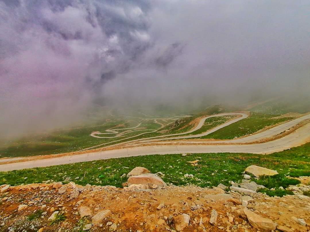
Tangir Expressway Survey
Gilgit-Baltistan (Packages 1-4)
Project Description
Comprehensive survey for the Tangir Expressway project in Gilgit-Baltistan, covering Packages 1 through 4. This major infrastructure project required detailed topographic mapping and alignment studies through challenging mountain terrain.
Location Details
The expressway route traverses the Tangir Valley in Gilgit-Baltistan, featuring steep mountain slopes, river crossings, and geologically complex areas. The survey covered multiple packages totaling significant length through this rugged terrain.
Project Team
Timeline
Start Date
October 26, 2022
Duration
6 weeks
Completion
December 6, 2022
Project Dimensions
The survey covered multiple packages of the expressway project, requiring detailed topographic mapping, cross-sectional analysis, and geotechnical assessment along the proposed alignment through challenging mountain terrain.
Client
National Highway Authority
Pakistan's federal agency responsible for major highway projects.
Services Provided
Topographic survey, route alignment studies, cross-sectional analysis, geospatial data collection, and preparation of detailed digital terrain models for expressway design and construction planning.
Challenges & Solutions
The project presented significant challenges due to the remote location and difficult terrain. Our team implemented a phased approach with mobile base stations to maintain GPS accuracy across the extensive project area. We combined traditional survey methods with drone photogrammetry to efficiently capture data in inaccessible areas while maintaining the high precision required for highway design.
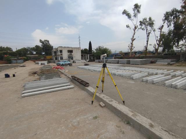
Farm House Topographic Survey
Punjab
Project Description
Detailed topographic survey for land development and construction of a farm house in Punjab. The project included precise elevation mapping, boundary verification, and site analysis to support architectural planning.
Location Details
Located in the agricultural heartland of Punjab province, the project site featured gently rolling terrain with existing vegetation and water features that required careful documentation for the farm house development plan.
Project Team
Timeline
Start Date
February 16, 2024
Duration
1 day
Completion
February 16, 2024
Project Dimensions
The survey covered a 1200 Kanal (approximately 150 acre) property with detailed topographic mapping at 1-meter intervals, including documentation of existing trees, water features, and other natural elements to be preserved in the development.
Client
Asif SB
Private landowner developing a farm house property.
Services Provided
Boundary verification, topographic survey, tree and vegetation mapping, water feature documentation, and preparation of detailed CAD drawings for architectural planning.
Challenges & Solutions
The primary challenge was efficiently capturing detailed topographic data across a large property while identifying and documenting specific natural features to be preserved. Our team implemented a systematic survey grid with targeted high-density data collection around key features, using a combination of total station and GPS equipment to maintain accuracy while optimizing field time.
PC Hotel Topographic Survey
Murree, Punjab
Project Description
Detailed topographic survey for the proposed PC Hotel site in Murree. The project included precise elevation mapping, slope analysis, and site documentation to support hotel design and construction planning.
Location Details
Located in the popular hill station of Murree, the project site featured steep slopes and challenging terrain typical of the Himalayan foothills, requiring careful analysis for hotel development.
Project Team
Timeline
Start Date
July 30, 2023
Duration
1 year
Completion
July 30, 2024
Project Dimensions
The survey covered a 5 Kanal (approximately 0.6 acre) property with detailed topographic mapping at 0.5-meter intervals, including slope analysis and geotechnical assessment for the proposed hotel development.
Client
Zhoain SB
Private developer for the PC Hotel project.
Services Provided
Detailed topographic survey, slope analysis, geotechnical assessment, and preparation of digital terrain models for architectural planning and engineering design.
Challenges & Solutions
The steep slopes and limited access on the site presented challenges for conventional survey methods. Our team implemented a combination of total station measurements and drone photogrammetry to efficiently capture the complex terrain features. We established a dense control network to ensure accuracy across the site while working within the constraints of the steep terrain.
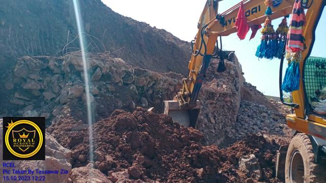
Hattar Industrial Area Survey
Hattar
Project Description
Cross-sectional survey for Shah Room Company in Hattar Industrial Area to establish bill quantities. The project required precise measurements of existing structures and terrain for construction planning and cost estimation.
Location Details
Located in the industrial zone of Hattar, the project site featured existing industrial structures and infrastructure requiring detailed documentation for expansion planning and quantity estimation.
Project Team
Timeline
Start Date
May 22, 2024
Duration
1 day
Completion
May 22, 2024
Project Dimensions
The survey focused on detailed cross-sectional measurements of existing structures and terrain features across the industrial site, with particular attention to elevation changes and structural dimensions for accurate quantity estimation.
Client
Shah Room Company
Industrial client in Hattar requiring precise measurements for construction planning.
Services Provided
Cross-sectional surveys, as-built documentation, quantity estimation, and preparation of detailed CAD drawings for construction planning and cost estimation.
Challenges & Solutions
The project required working within an active industrial facility with limited access to some areas and potential safety concerns. Our team coordinated closely with facility management to schedule survey work during low-activity periods and implemented safety protocols for working in industrial environments. We used reflectorless measurement capabilities where direct access was limited to ensure complete data collection while maintaining safety standards.
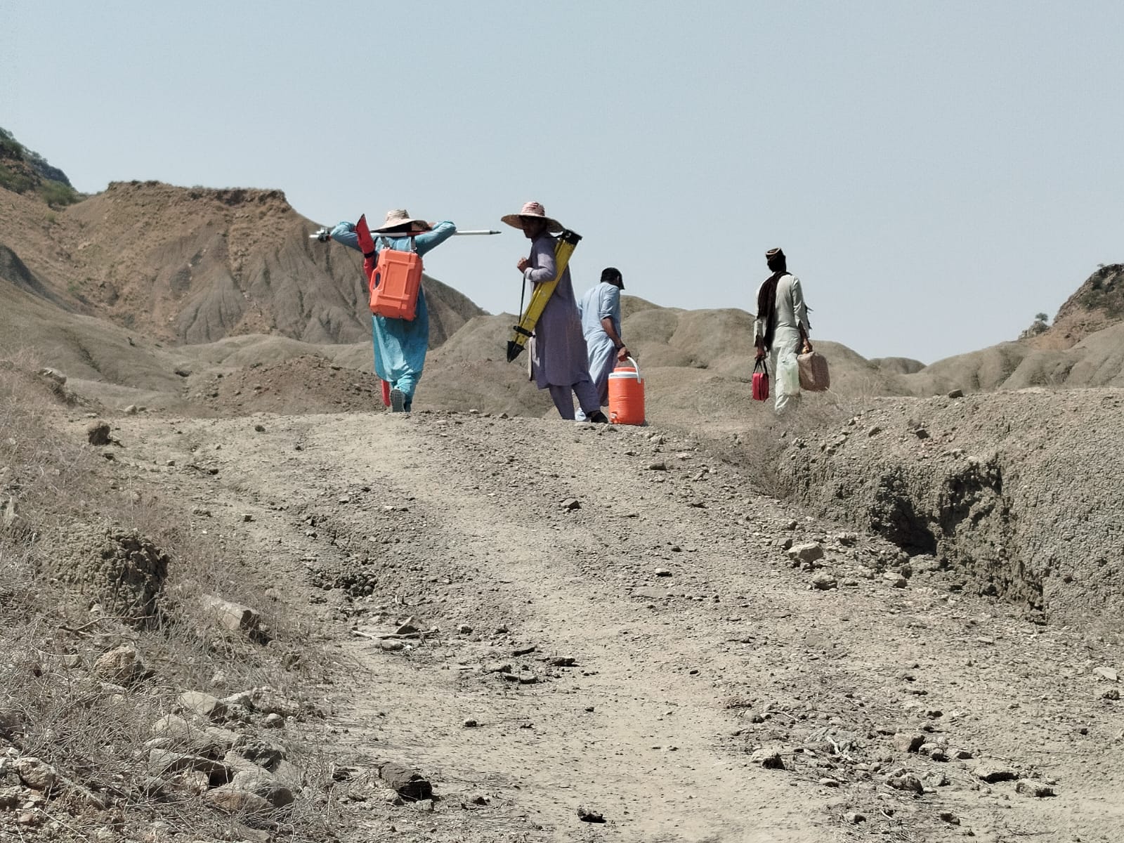
Shkma to Manthoka Survey
Gilgit-Baltistan
Project Description
Topographic survey from Shkma to Manthoka in Gilgit-Baltistan. The project provided essential terrain data for infrastructure planning in this remote mountain region.
Location Details
Located in the high-altitude region of Gilgit-Baltistan, the survey corridor between Shkma and Manthoka featured challenging mountain terrain with significant elevation changes and limited access routes.
Project Team
Timeline
Start Date
March 26, 2025
Duration
2 days
Completion
March 28, 2025
Project Dimensions
The survey covered a significant distance through mountainous terrain, requiring detailed topographic mapping and cross-sectional analysis to support infrastructure planning in this remote region.
Client
Confidential Client
Infrastructure planning agency requiring terrain data for regional development.
Services Provided
Topographic survey, route alignment studies, cross-sectional analysis, and preparation of digital terrain models for infrastructure planning.
Challenges & Solutions
The remote location and difficult mountain terrain presented significant logistical challenges. Our team implemented a lightweight survey approach with portable equipment suitable for high-altitude conditions. We established a robust control network using GPS base stations to maintain accuracy across the extensive survey area while working in challenging conditions.
Spinwarm Access Road Survey
Pakistan
Project Description
Royal Crown Engineering Ltd & Land Surveying (RCEL) conducted a comprehensive 6 km topographic survey of the Spinwarm Access Road. The survey was carried out using DGPS and Total Station technology, covering all major features along the proposed alignment to support road construction planning.
Location Details
The survey covered a 6 km stretch of the proposed Spinwarm Access Road, starting from FWO's known control point GPS-9. The project required precise topographic mapping of the entire alignment to support construction planning and design.
Project Team
Timeline
Start Date
May 20, 2025
Duration
14 days
Completion
June 2, 2025
Project Dimensions
The survey covered a 6 km alignment with detailed topographic mapping of all major features, including terrain, existing structures, and natural features that would impact the road construction.
Client
Al-Fareed Construction Company
Represented by Mr. Noor, working under supervision of FWO and MMP teams.
Services Provided
Topographic survey, control point establishment, feature mapping, alignment survey, and preparation of detailed survey drawings for road construction planning.
Challenges & Solutions
The project required working under tight deadlines while maintaining high accuracy standards. Our team implemented efficient survey methods using DGPS for primary control and Total Station for detailed feature mapping. We coordinated closely with FWO and MMP supervision teams to ensure all requirements were met and the survey was completed within the specified timeframe.
Burzil-Manthokha-Shaqma Road Feasibility
Gilgit-Baltistan
Project Description
Comprehensive feasibility study for the construction of a 112 km road connecting Burzil Top to Manthokha to Shaqma Gultari in Gilgit-Baltistan. This strategic infrastructure project required detailed terrain analysis and route planning in challenging mountain terrain.
Location Details
The project area traverses the high-altitude regions of Gilgit-Baltistan with elevations ranging from 2,000 to 4,500 meters. The challenging terrain includes steep mountain slopes, glaciated areas, and deep valleys that required careful assessment for road construction feasibility.
Project Team
Timeline
Start Date
August 29, 2022
Duration
17 days
Completion
September 14, 2022